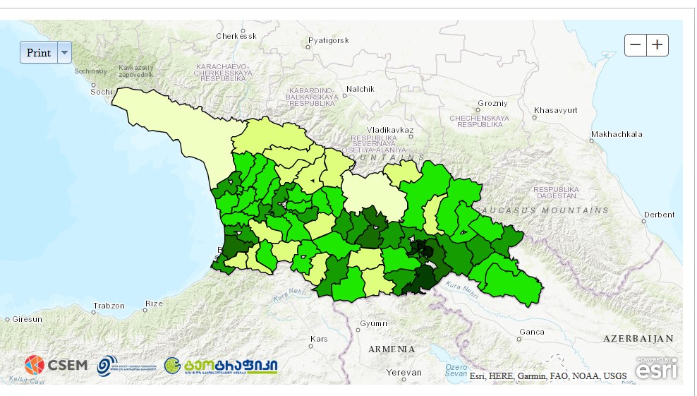
Interactive Web Map – Ethnic Diversity of Georgia
Centre for the Studies of Ethnicity and Multiculturalism (CSEM) prepared interactive web map of Georgia’s ethnic diversity. The Project displays demographical and statistical information according to municipalities, regions and towns. It also includes all Georgian villages with ethnically diverse population (more than 750 villages in regions of Samtskhe-Javakheti, Kvemo Kartli, Kakheti, Mtskheta-Mtianeti, Shida Kartli and Adjara).
In addition to demography interactive map also includes different thematic maps, in particular participation of national minorities in local self-government and parliament, CSOs established by national minority communities, public schools with non-Georgian and mixed sectors, media institutions broadcasting in minority languages and cultural centres (museums and theatres).
The project is supported by the Open Society Georgia Foundation (OSGF). Web application of the map is created by GIS and RS Consulting Centre “GeoGraphic”.
Map is freely accessible on CSEM website. For the time being interactive map is in Georgian only. English version will be available soon. www.csem.ge/interactivemap